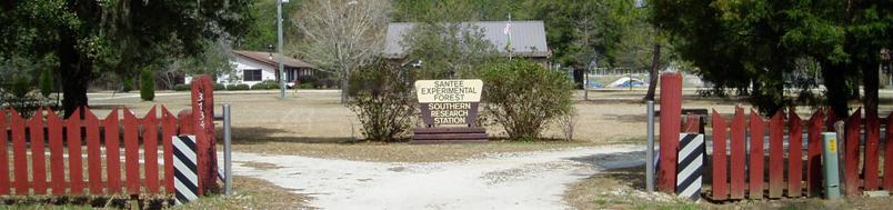
The USDA Forest Service Santee Experimental Forest was established in 1937 as a 2,468-ha site for silvicultural research involving hydrology, soils, and vegetation. Over the years, Forest Service (FS) scientists and others have compiled a long-term database that can now be accessed via this web portal. Our data fall into three major categories: hydrology, climate, and land resource data.
Full Weather Stations
Access data »Experimental Forest maintains three full weather stations: two installed near ground level within forest clearings and one that is located approximately 30 m above the forest canopy. These stations provide an array of detailed climatological data, for varying periods.
Watershed Field Stations
Access data »There are three field weather stations that are instrumented to collect rainfall and temperature data. These stations were established to assess the spatial variability of these parameters across the watersheds.
Historic Rainfall Network
Access data »Networks of non-recording rain gauges (now inactive) were installed inside and around the perimeters of WS-77, 78 and 80 (in 1963, 1964 and 1966, respectively) and were monitored until 1984. These gauges were established to quantify spatial variability in rainfall and were usually visited only after a rainfall event.
Monitoring of ambient ozone level was initiated in 2008. These measurements are collected at the Santee Headquarters Weather Station.
Monitoring of wet and dry atmospheric deposition was initiated in 2008. These measurements are collected at the Santee Headquarters Weather Station.
Pluvio Rain Guage
Access data »A Pluvio National Atmospheric Deposition Program (NADP)-type rain gauge was installed at the Santee Headquarters weather station in September 2010.